Beginner
Learn GeoGuessr — Beginner Training Guide
Learn GeoGuessr from zero with a practical beginner roadmap, core skills, and free Street View training on KnowYourGeo.
6 min read · · Updated
GeoGuessr looks simple until your first round lands you 8,000 km away. Learning GeoGuessr is really learning how to read the world from Street View: road markings, languages, vegetation, architecture, camera generation, and regional meta.
This guide is a practical starting path for beginners who want real improvement, not just lucky guesses.
# What beginners should learn first
Before you chase perfect pins, build three habits:
- Scan systematically — sky, sun, road, signs, architecture, landscape, camera quality.
- Guess in regions first — continent, then country, then city.
- Review every round — the fastest players treat every mistake as a pattern to remember.
KnowYourGeo helps with all three: you practice Street View rounds, pin your guess on the map, and optionally use AI coaching to explain the clues you missed.
# Step-by-step beginner roadmap
# Week 1: Learn the camera and the map

- Play short rounds on one continent instead of the whole world.
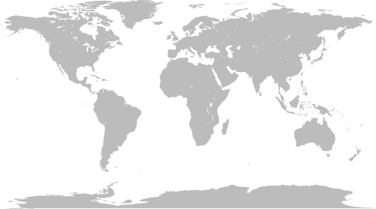
- Notice whether coverage feels dense (Western Europe) or sparse (parts of Africa or Central Asia).
- Practice opening the map quickly and placing a rough regional guess before overthinking.
# Week 2: Learn language meta
Look for:
- Latin alphabet vs Cyrillic vs Arabic vs Thai script
- Double yellow lines vs white edge lines
- European-style village signage vs North American county roads
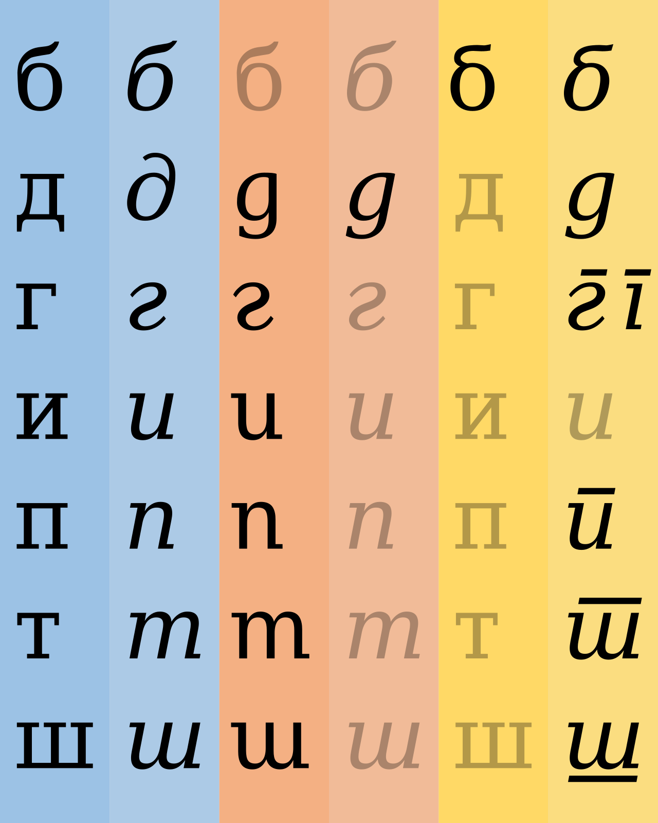

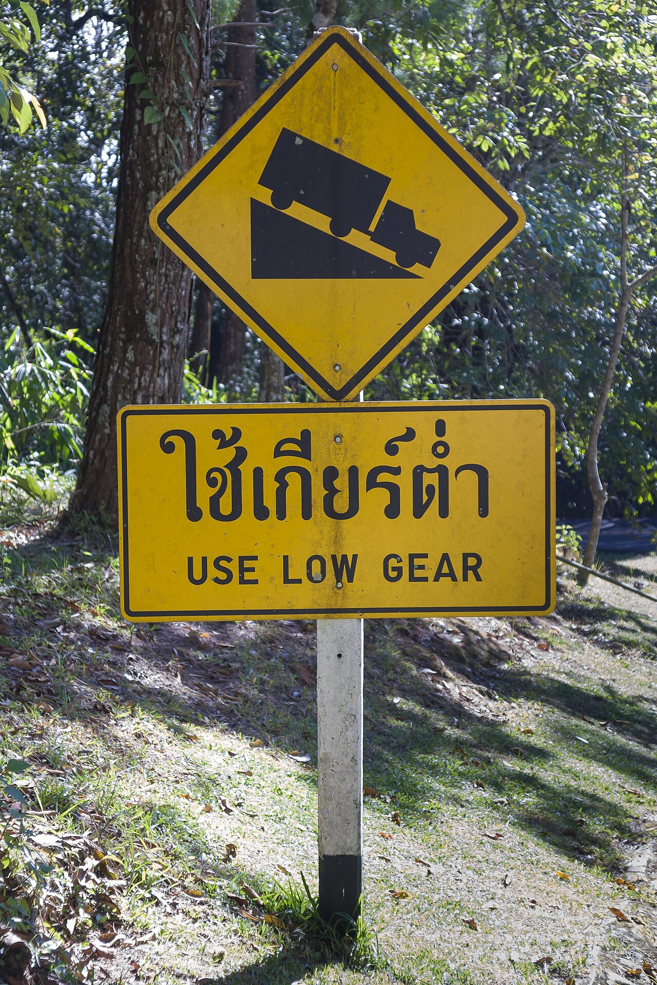

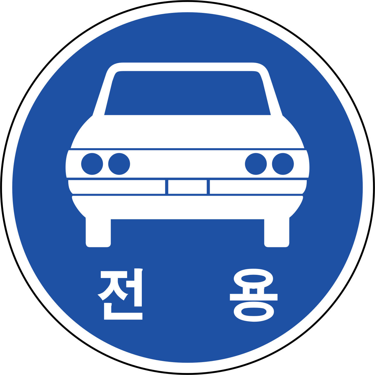
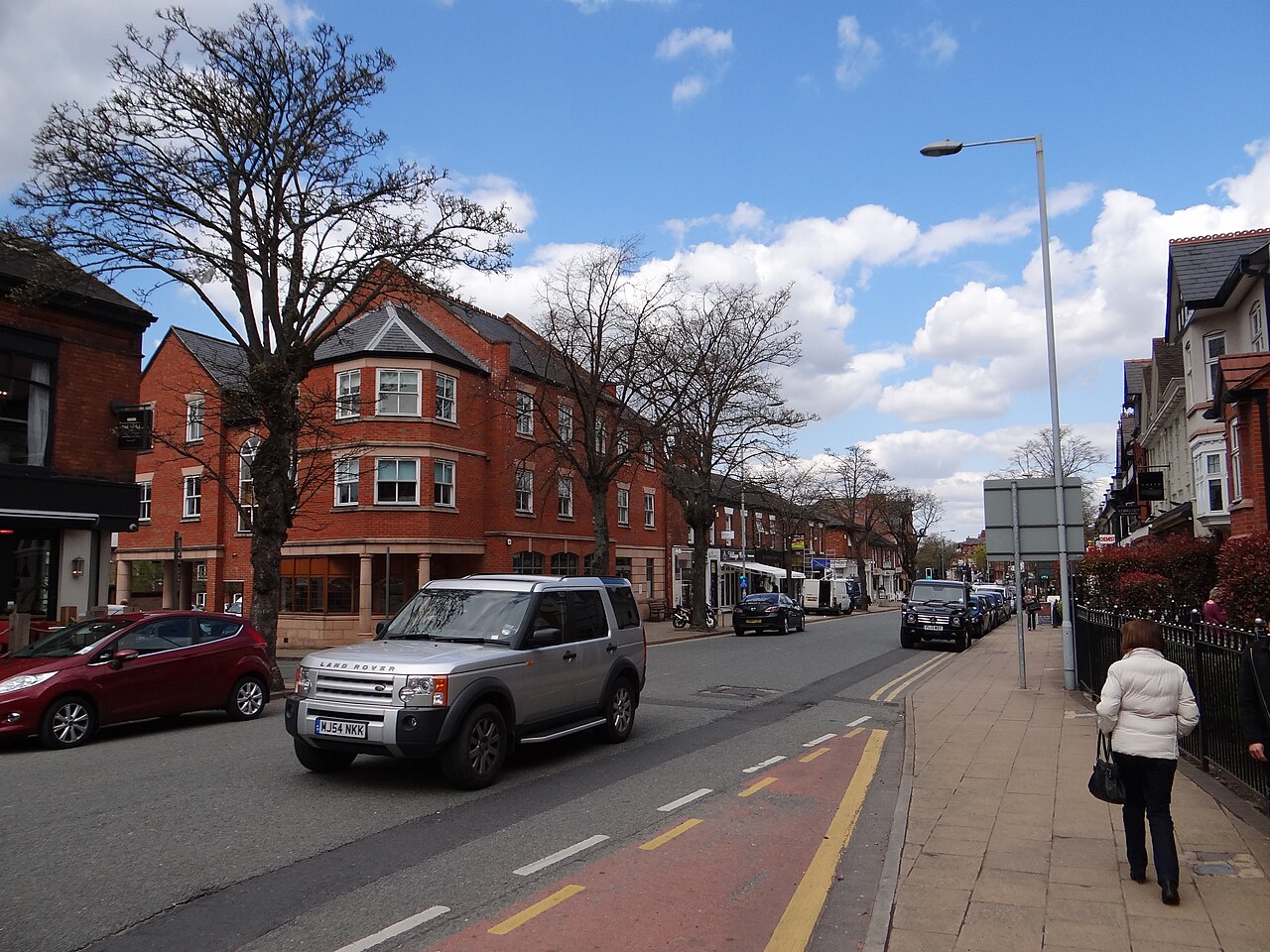
Even if you cannot read the language, script family often narrows the search dramatically.
# Week 3: Learn vegetation and climate
Ask:
- Is it dry red earth, lush tropics, pine forest, or prairie?
- Are palms, eucalyptus, birch, or baobab-like trees visible?
- Does the sky and light suggest high latitude or equatorial sun?
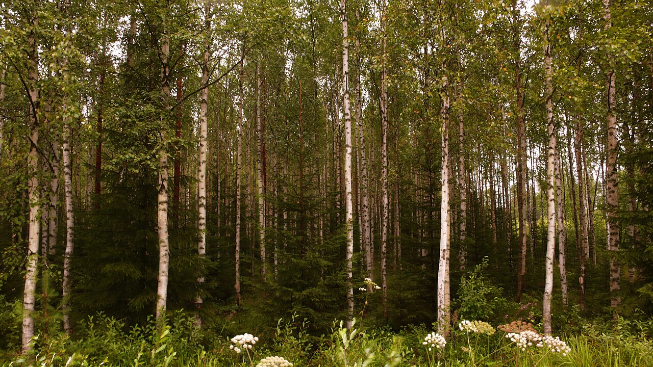
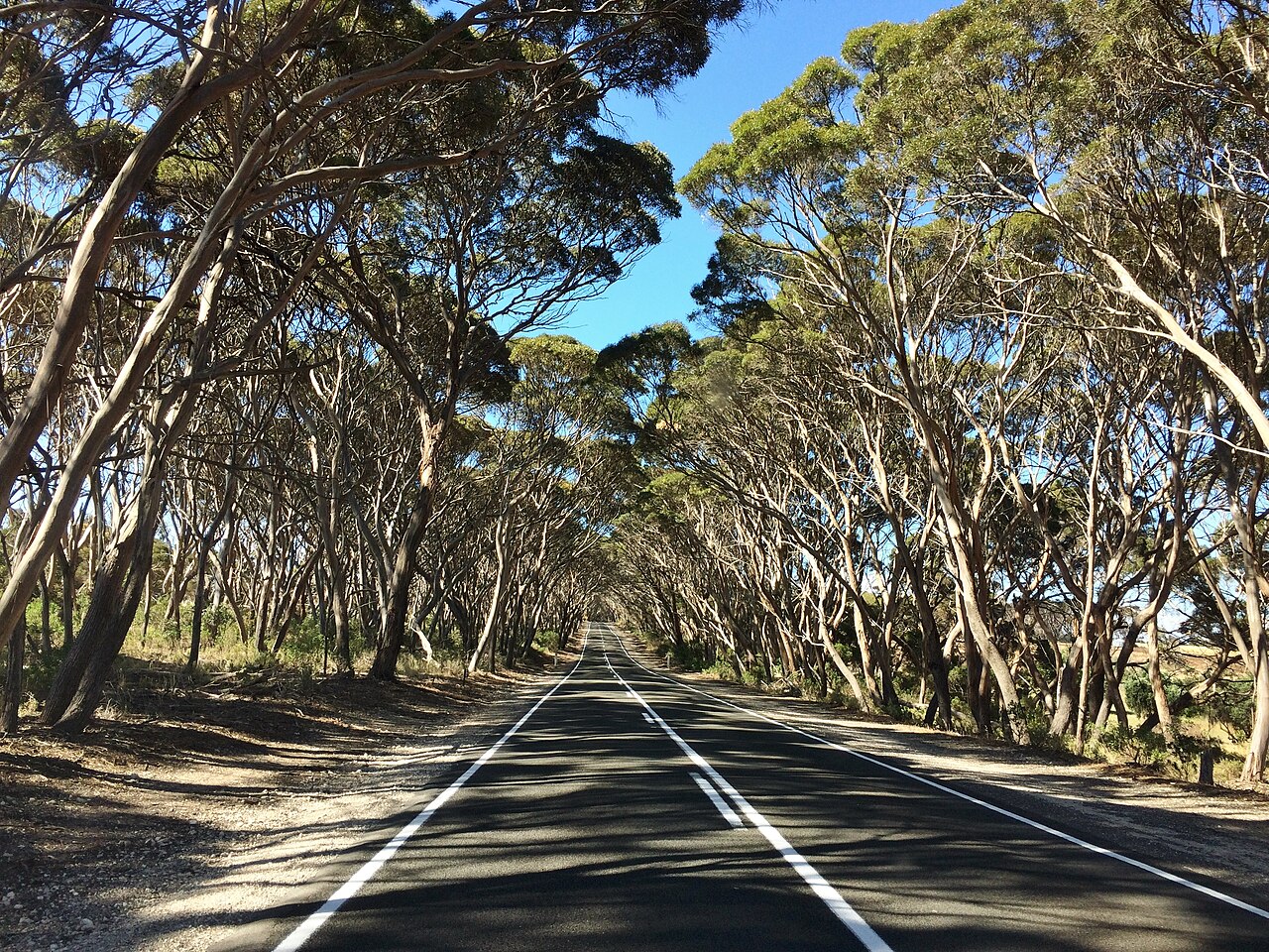
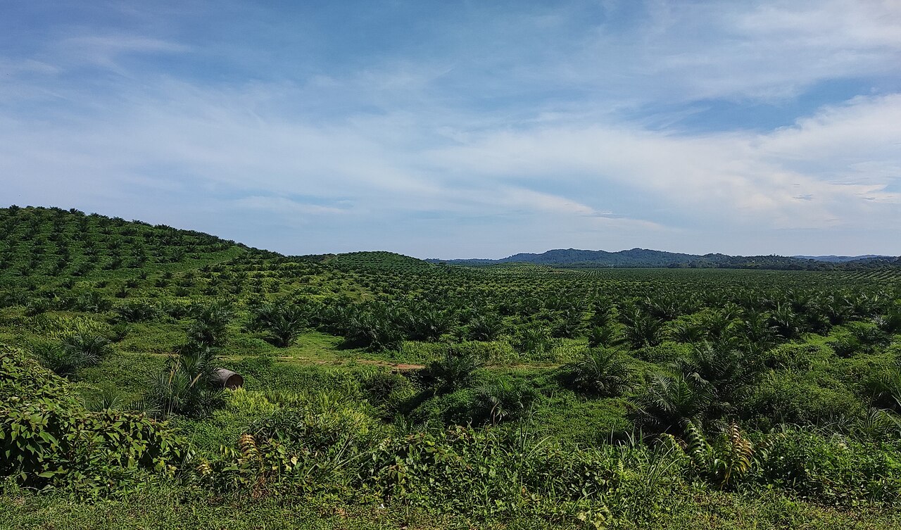
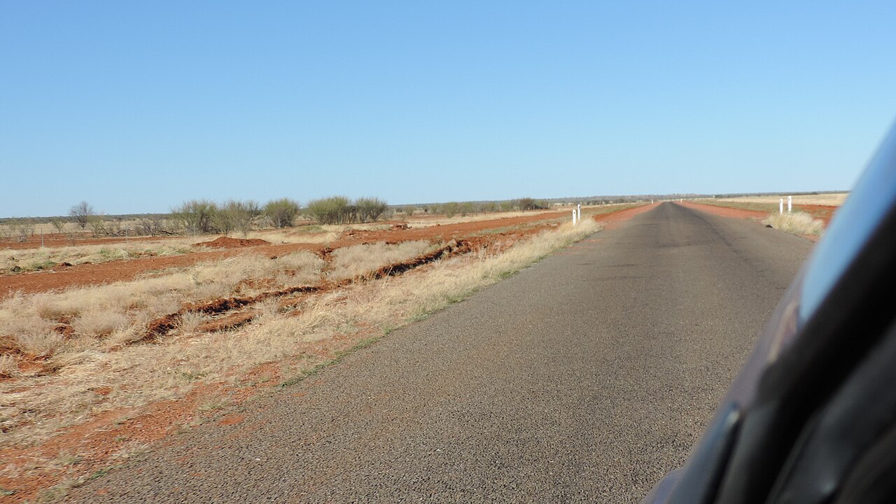
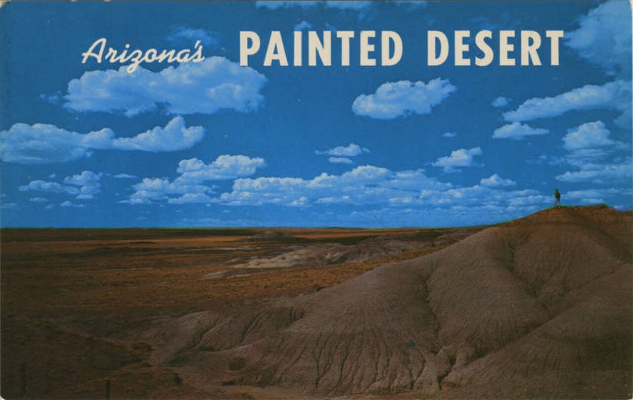
Climate is one of the strongest filters in GeoGuessr.
# Week 4: Add architecture meta
Compare:
- Roof materials and colors
- Fence styles and utility poles
- Driving side, guardrails, and sidewalk design
- Housing density and building age

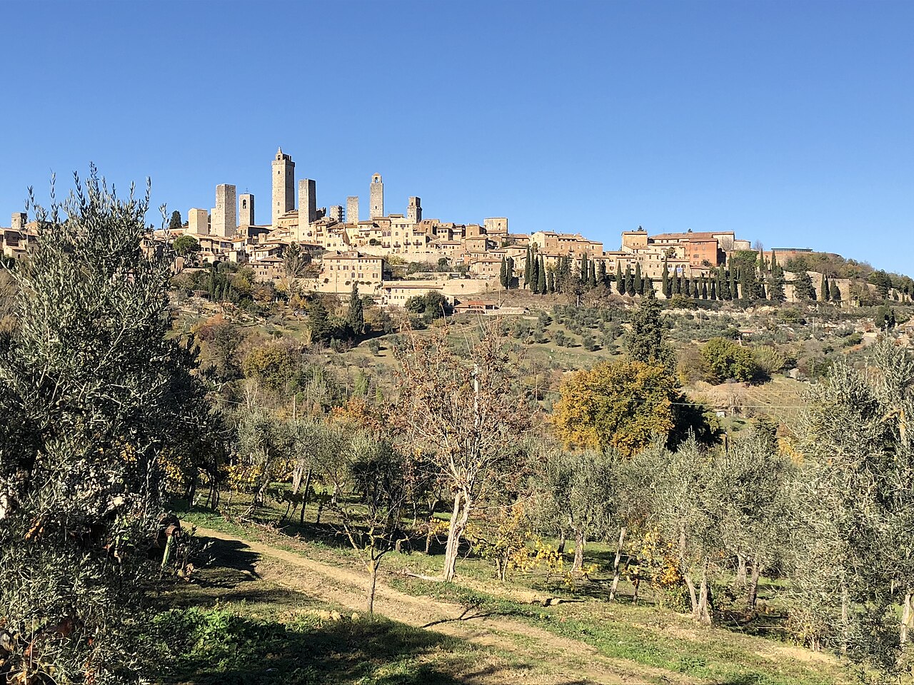
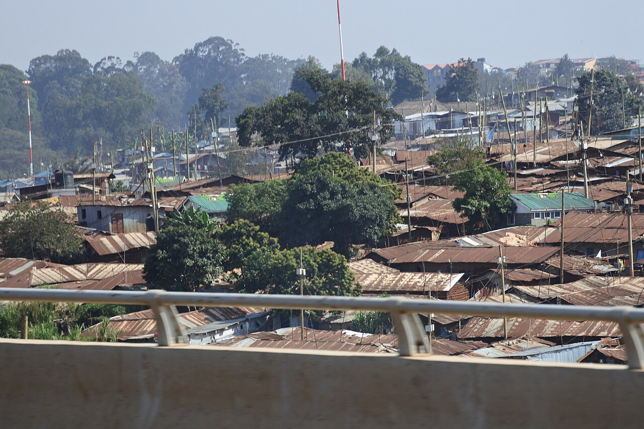
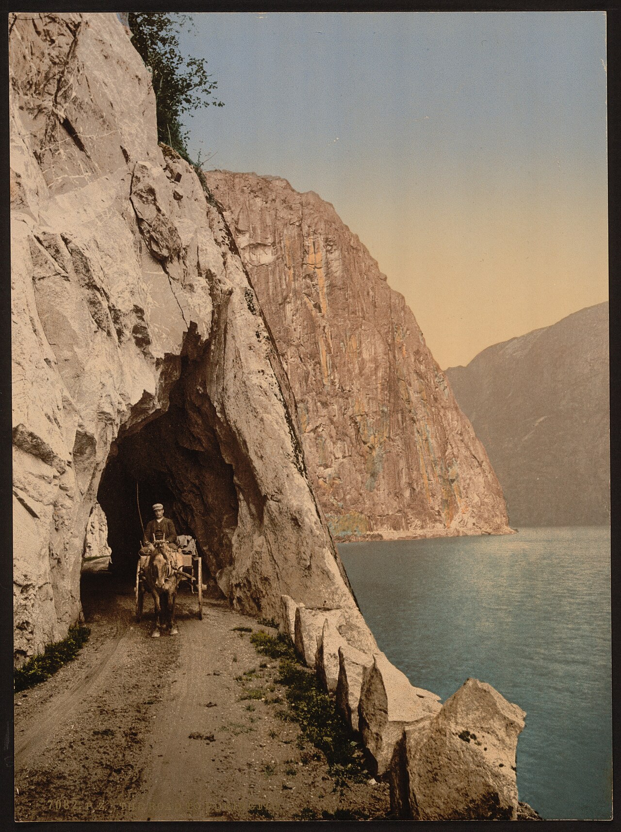
Architecture often breaks ties when language and vegetation look similar.
# Common beginner mistakes
- Guessing too precisely too early — start broad, then zoom in.
- Ignoring camera generation — older blurrier coverage often means older Google camera routes.
- Only memorizing famous landmarks — ranked play rewards repeatable regional patterns, not trivia.
- Skipping review — improvement comes from post-round analysis.
# How KnowYourGeo helps you learn GeoGuessr
KnowYourGeo is built as a training platform, not just a score chase:
- Street View practice rounds by continent or custom countries
- Interactive map guessing with distance scoring
- AI geography coaching that highlights visual clues after a round
If you are just starting, pick one continent, play 10 rounds, and review every result. That repetition beats random world games for learning speed.
# Next steps
Once the basics feel natural, move on to our GeoGuessr tips and meta guide to sharpen regional recognition faster.


.svg)
.svg)


.jpg)


.jpg)
,_Greece.jpg)


_Hardanger_Fjord,_Norway-LCCN2001699499.jpg)