Meta
GeoGuessr Meta Guide — Regional Clues and Pattern Recognition
Learn GeoGuessr meta with regional clue families, pattern recognition tips, and Street View training on KnowYourGeo.
8 min read · · Updated
GeoGuessr meta is the shared knowledge competitive players use to recognize countries quickly: road paint, bollards, scripts, poles, vegetation, camera coverage, and regional architecture.
Meta is not cheating. It is the skill layer that separates random guessing from consistent performance.
# How to study GeoGuessr meta effectively
Do not try to memorize the entire world at once. Study meta in layers:
- Continent-level filters
- Country distinguishing features
- Sub-region patterns inside large countries
- Edge cases and lookalike pairs
KnowYourGeo helps you drill these layers with continent modes, custom country lists, and AI coaching.
# High-value meta categories
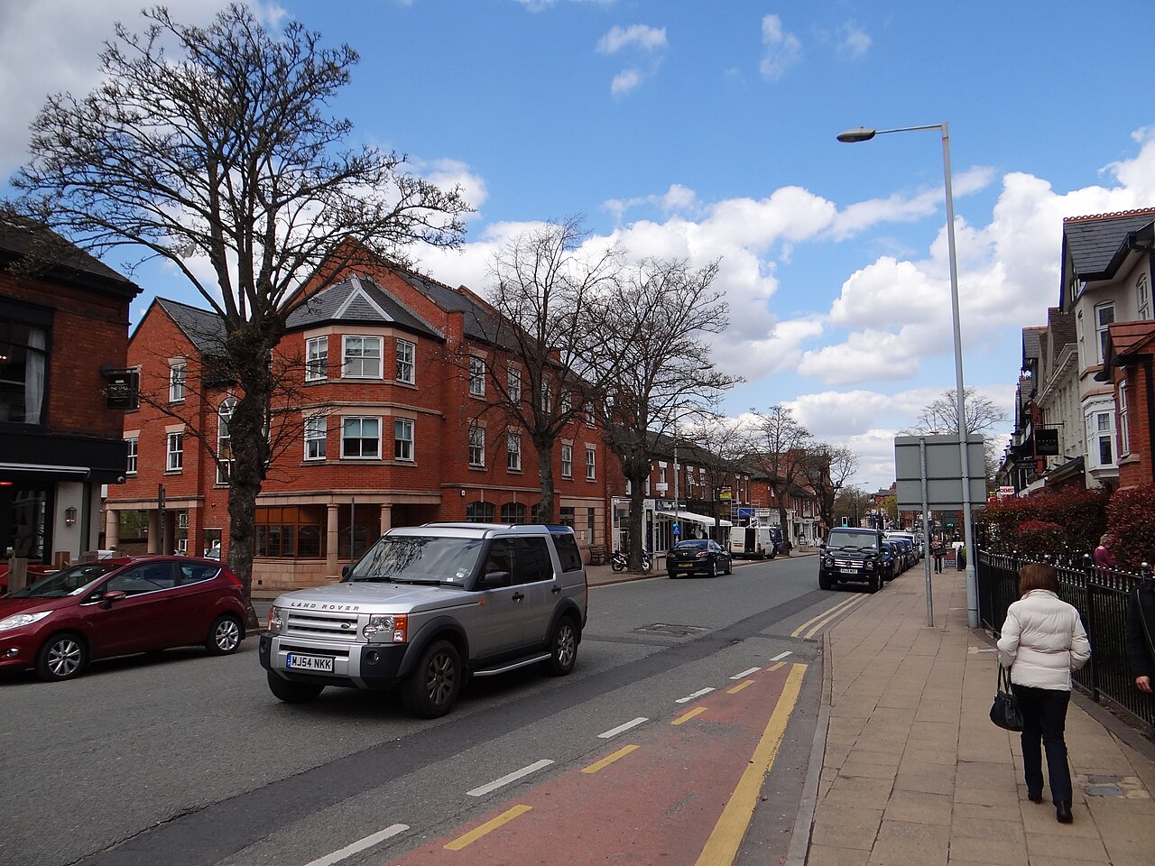
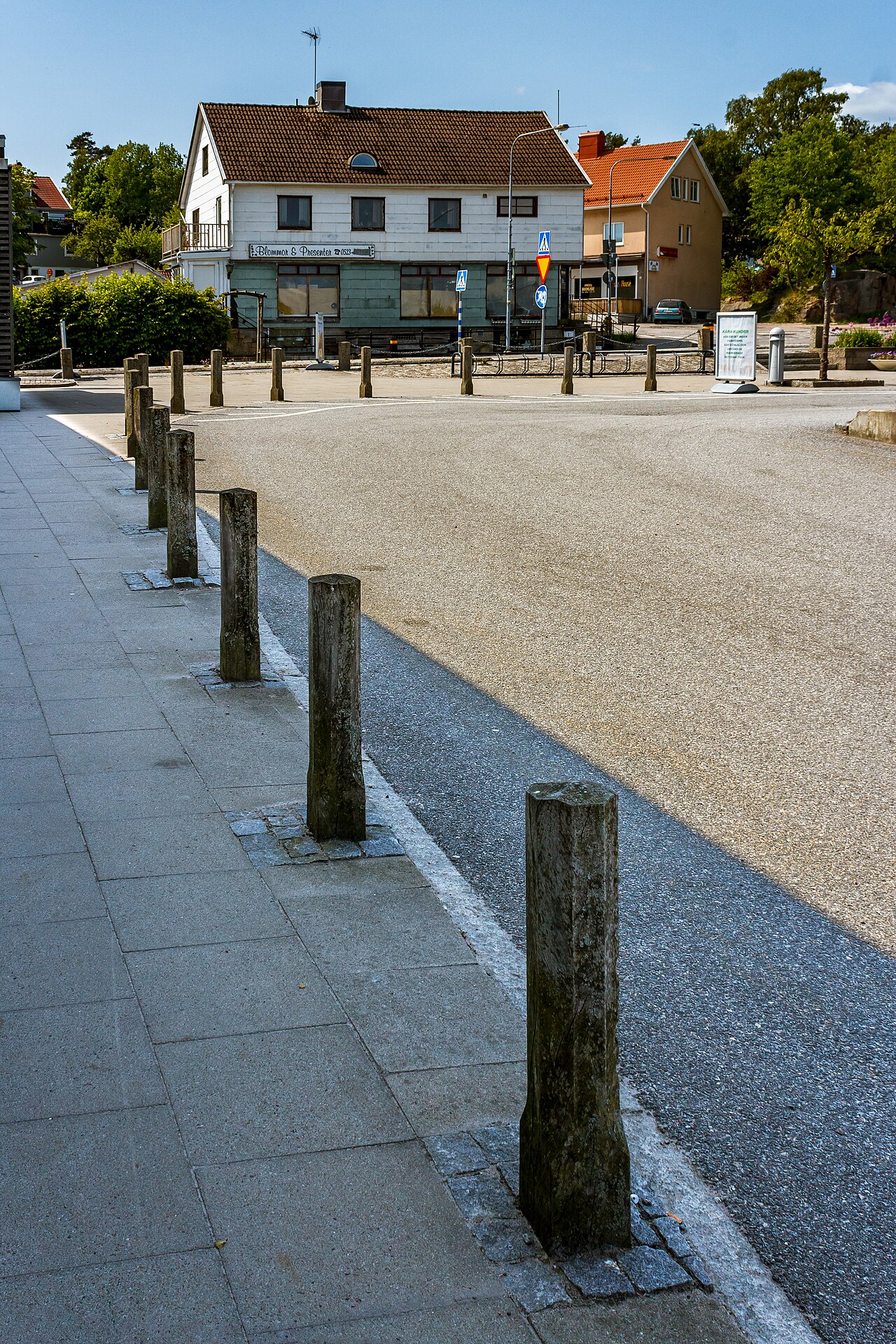
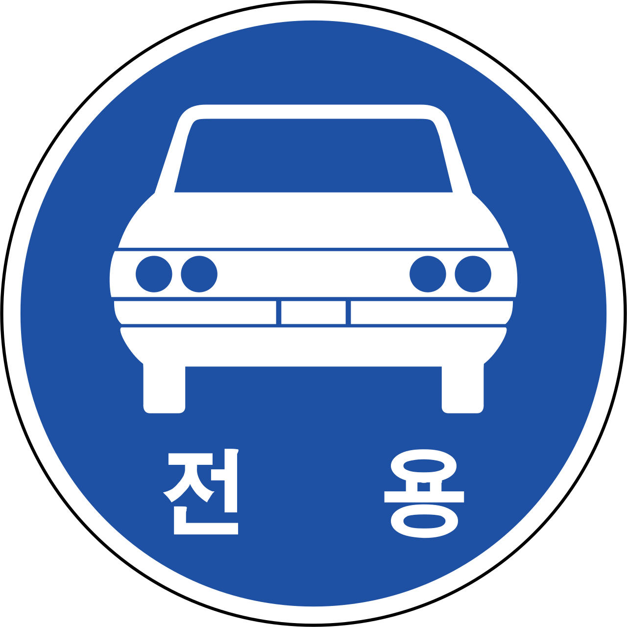
# Road markings and road furniture
Look for:
- center line color and style
- edge lines, chevrons, and cat eyes
- guardrail design
- bollard color patterns
- pedestrian crossing markings
These clues often survive when signage is missing.

# Language and script
Meta study should include:
- Latin alphabet variants
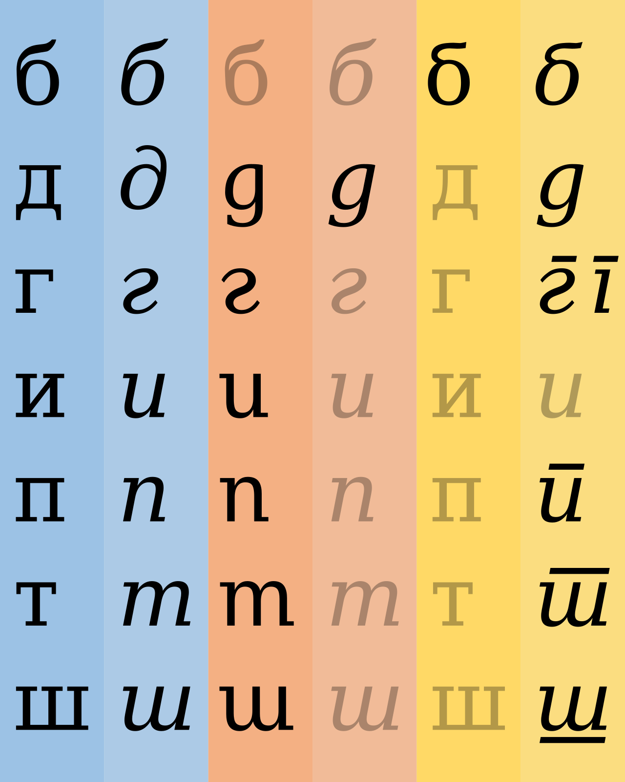
- Cyrillic countries with distinct road styles
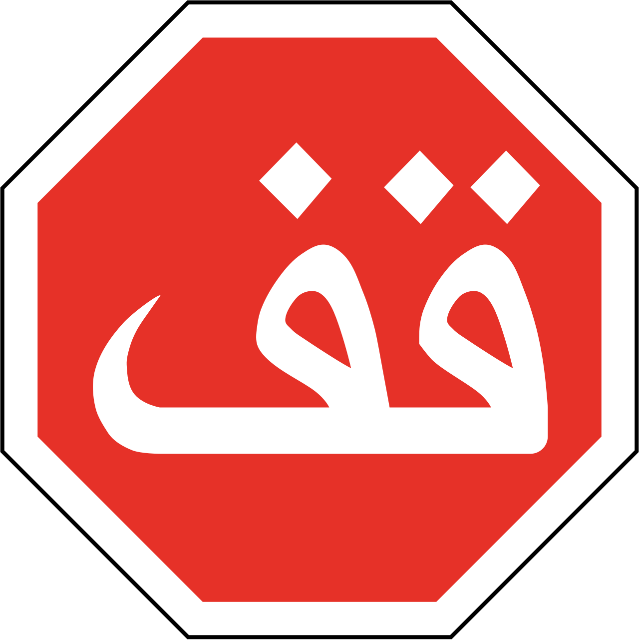
- Arabic script regions
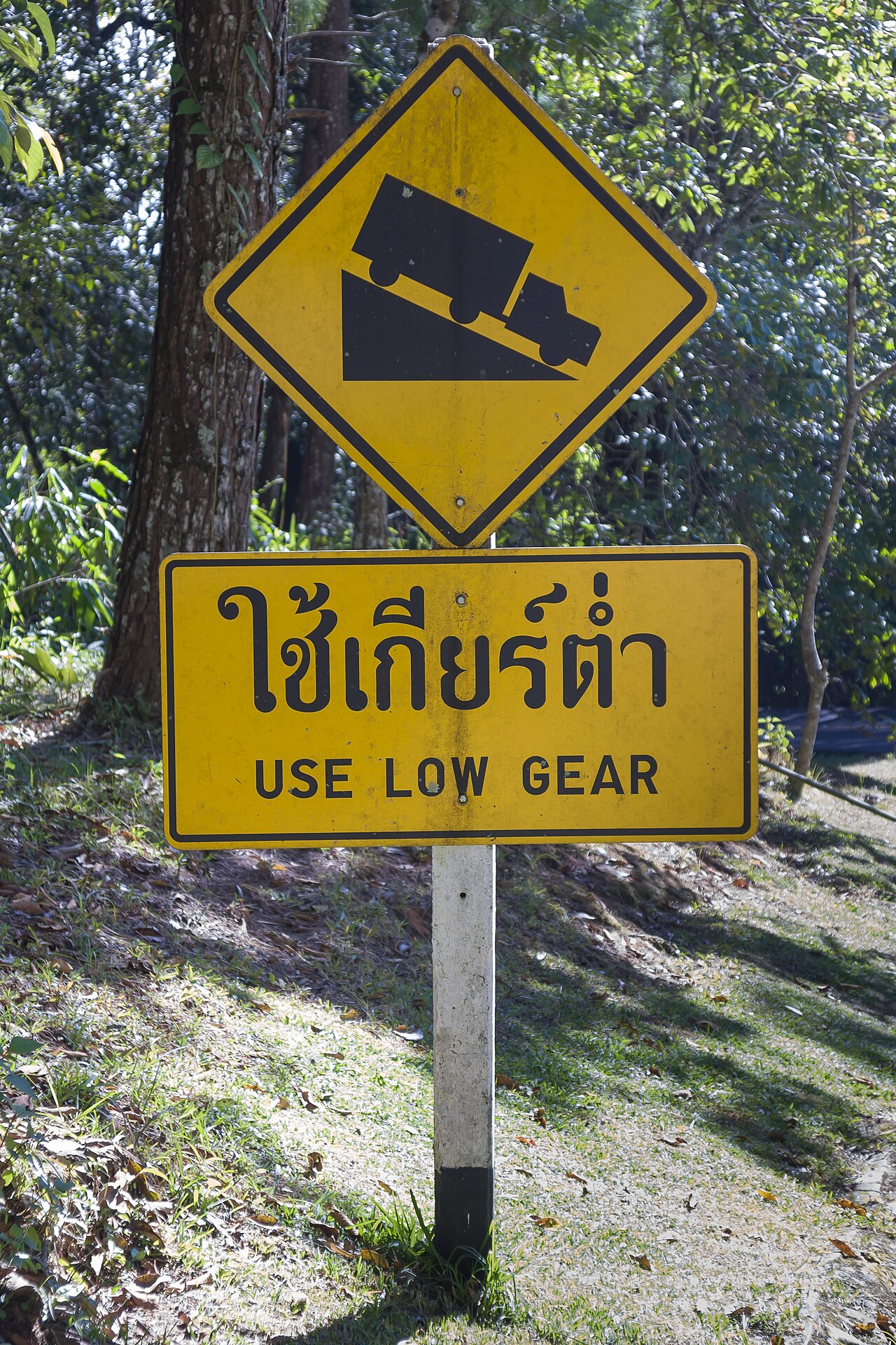
- Southeast Asian scripts
- Special characters and diacritics
Script family alone can eliminate large parts of the map.

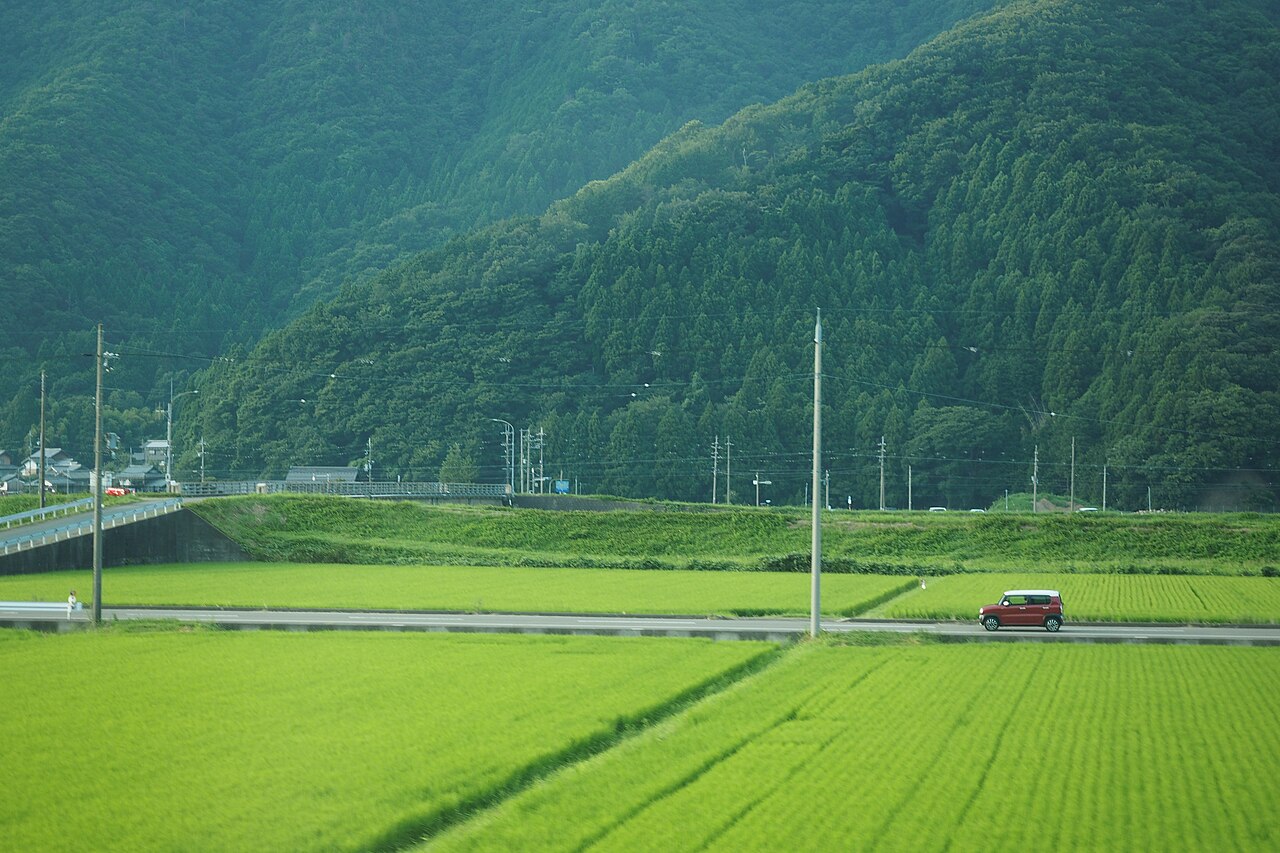
# Vegetation and agriculture
Examples:
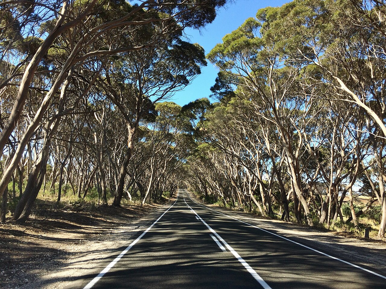
- eucalyptus rows
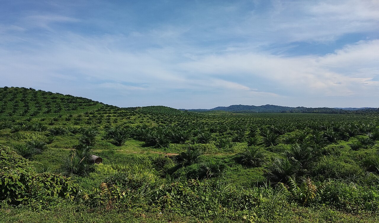
- oil palm plantations
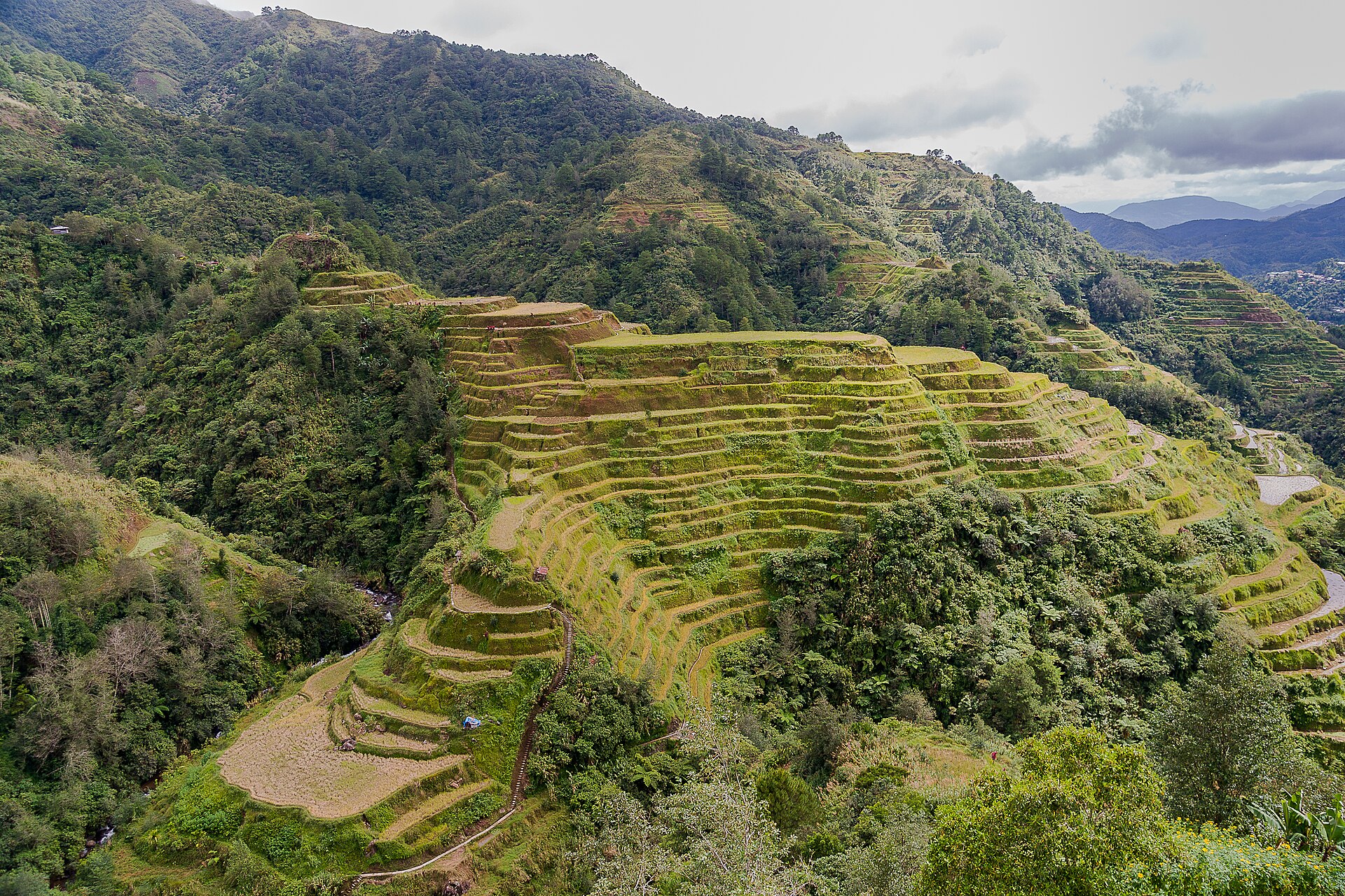
- rice terrace patterns
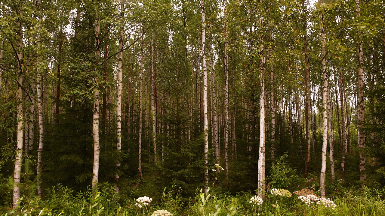
- birch/pine dominance
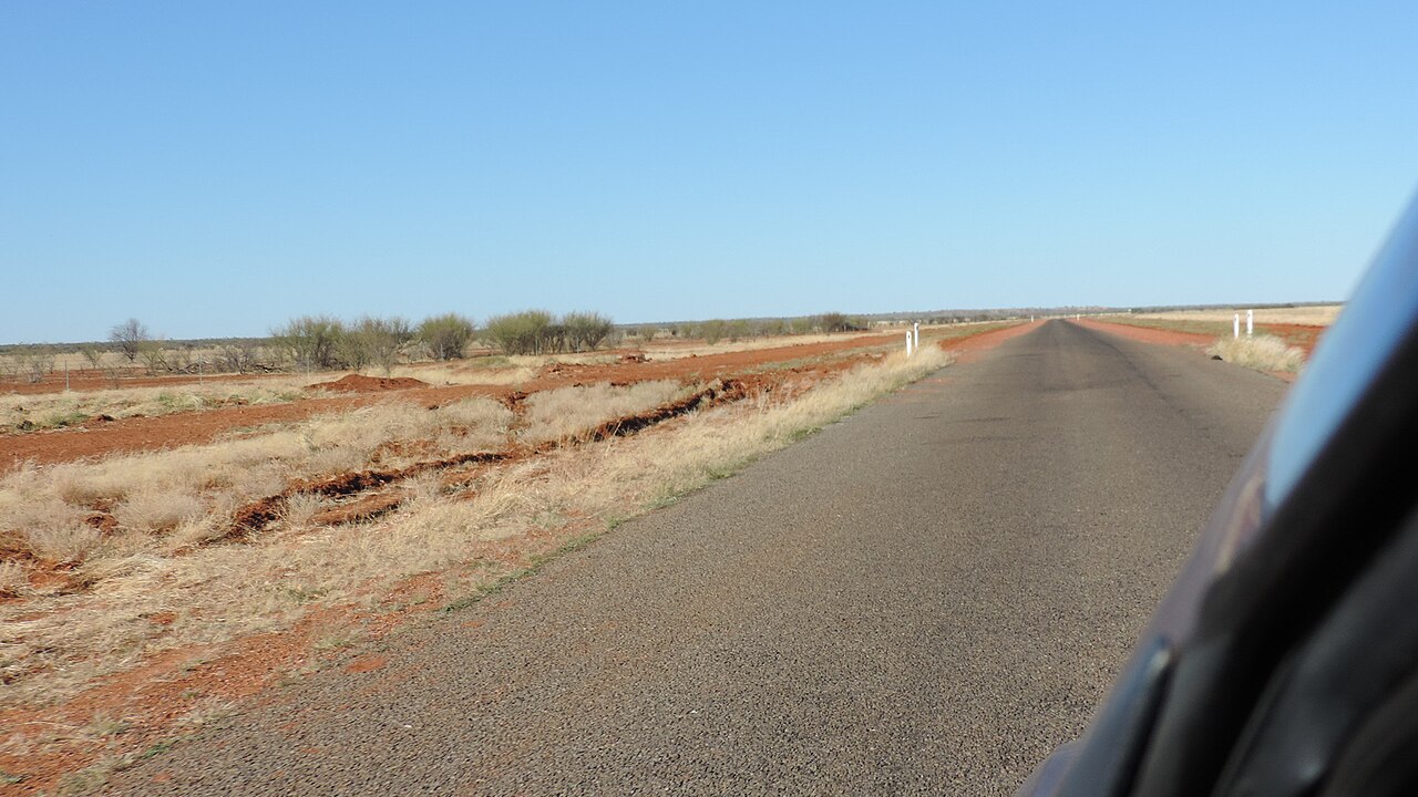
- red soil and sparse shrubs
Climate and agriculture are especially strong in rural rounds.
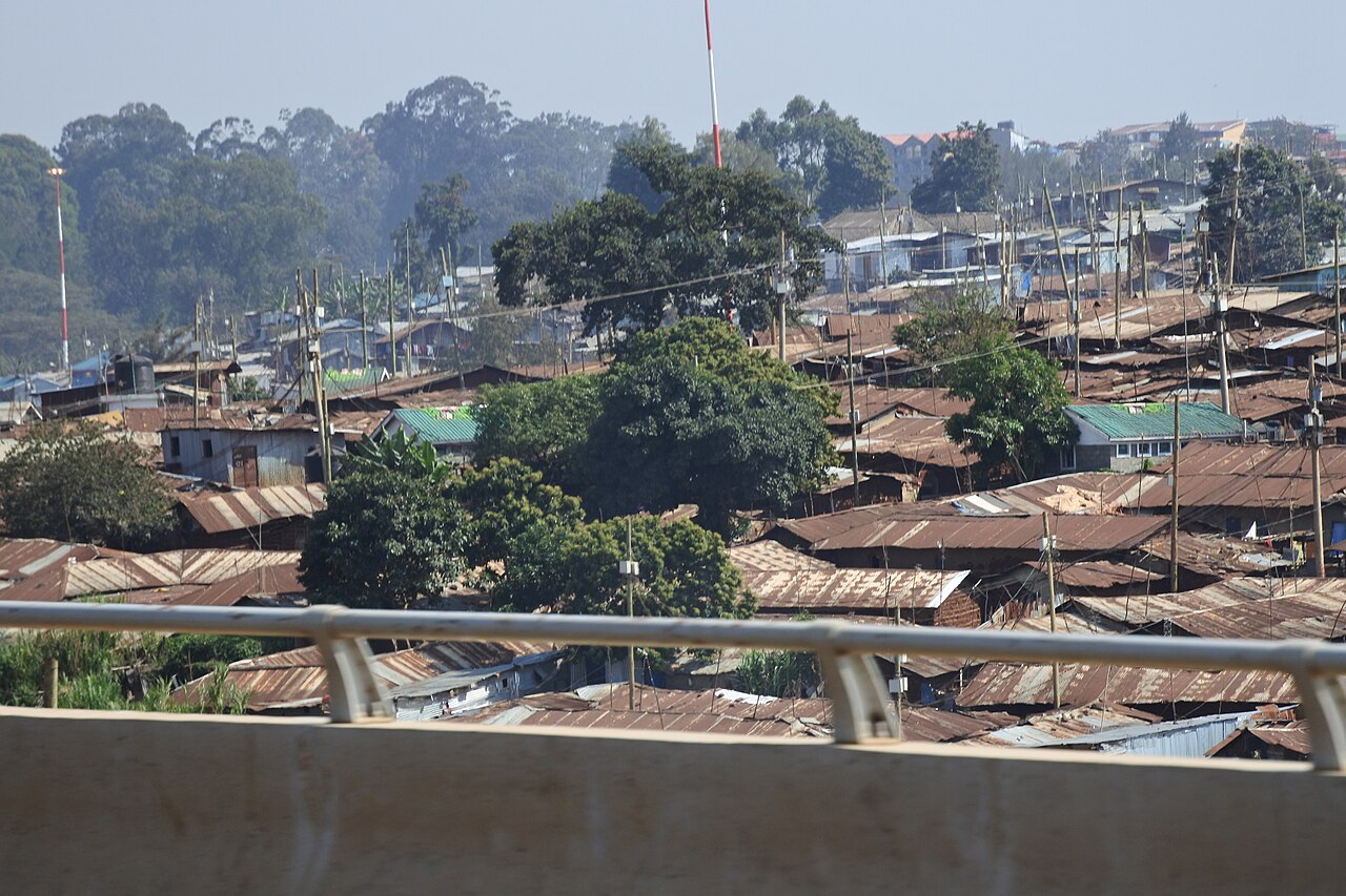
# Utility infrastructure
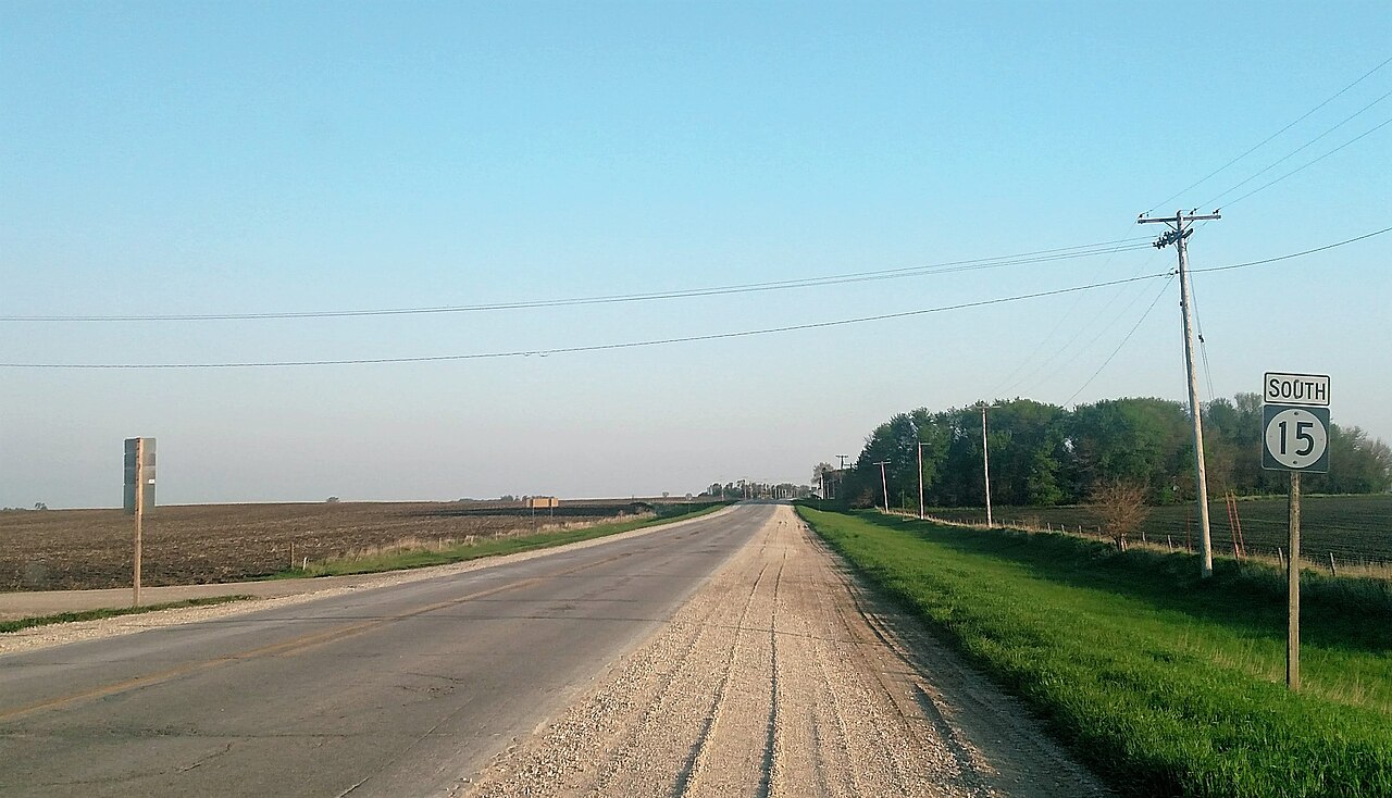
Pole type, transformer mounting, wire density, and street lamp design vary significantly by country and are core GeoGuessr meta for advanced players.
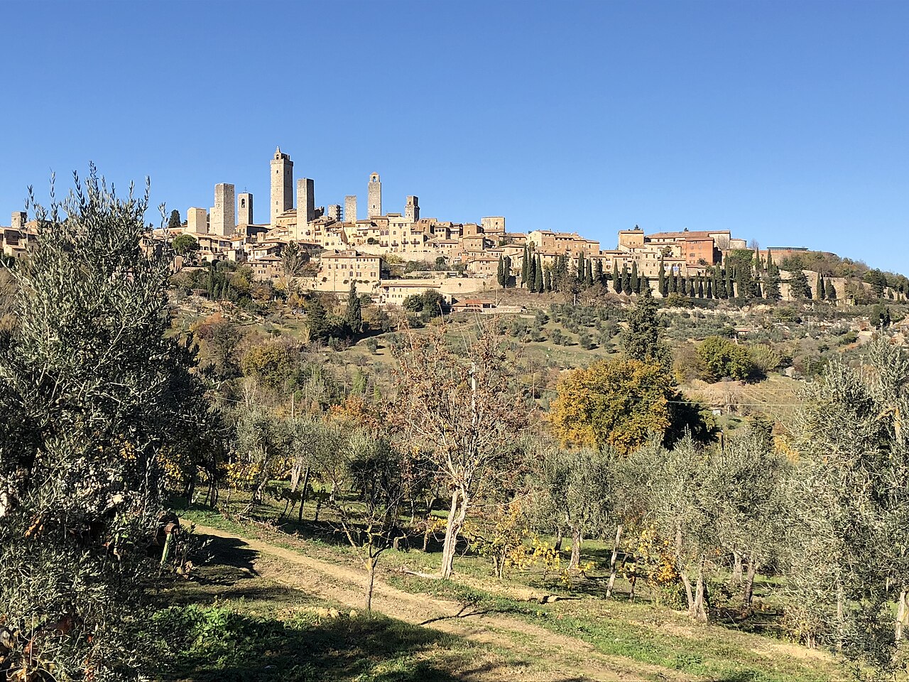
# Architecture
Study:
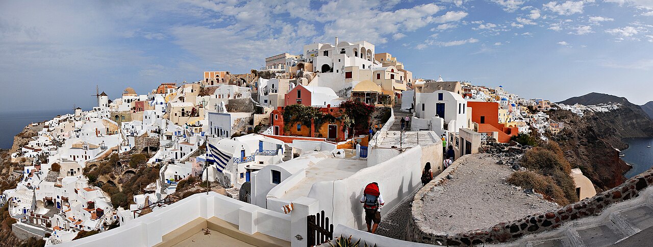
- roof pitch and material
- wall texture and color
- balcony styles
- fence height and design
- church or tower silhouettes when visible
# Regional starter packs
Use these as first-pass filters while learning meta:
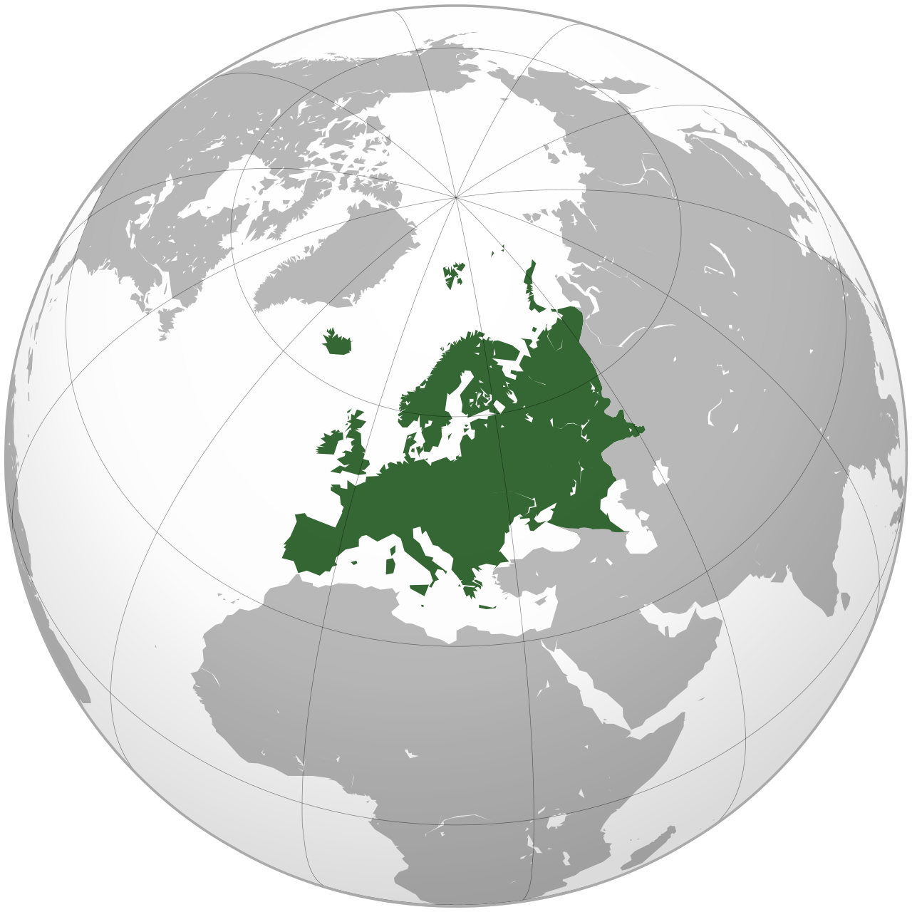
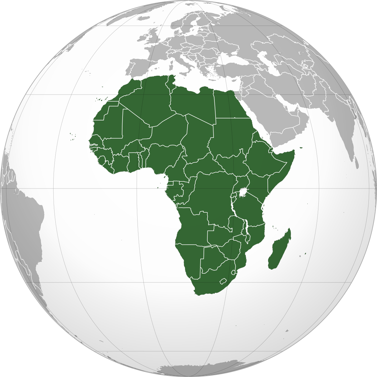
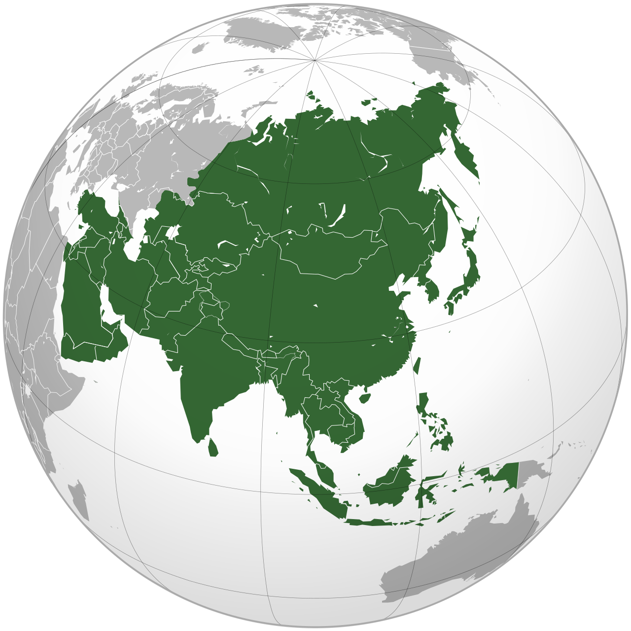
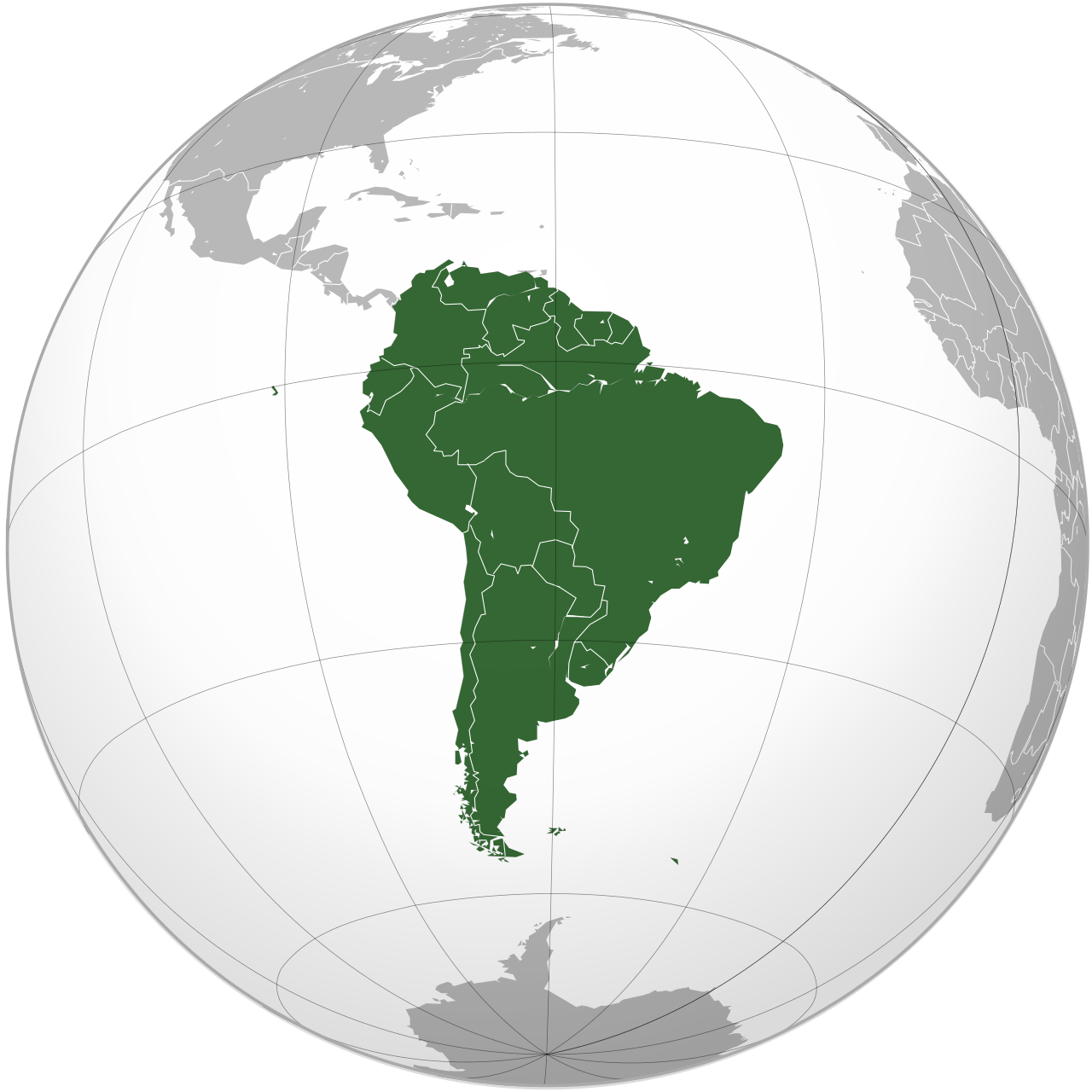
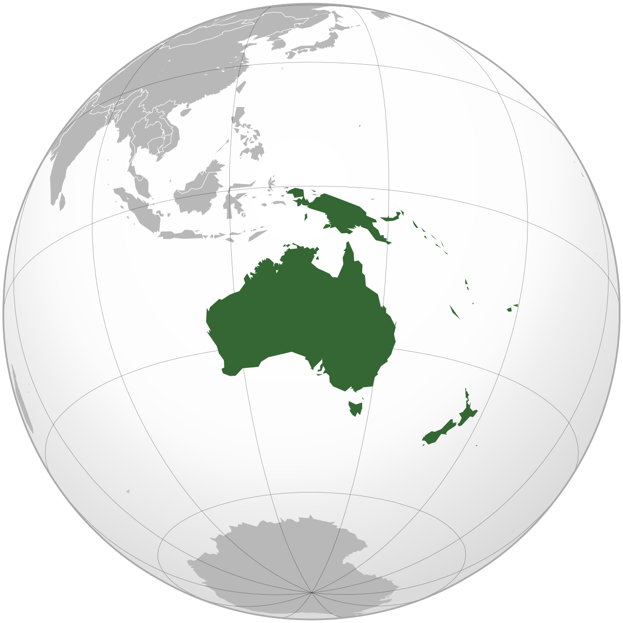
Europe: bollards, narrow roads, script, roof tiles, camera density
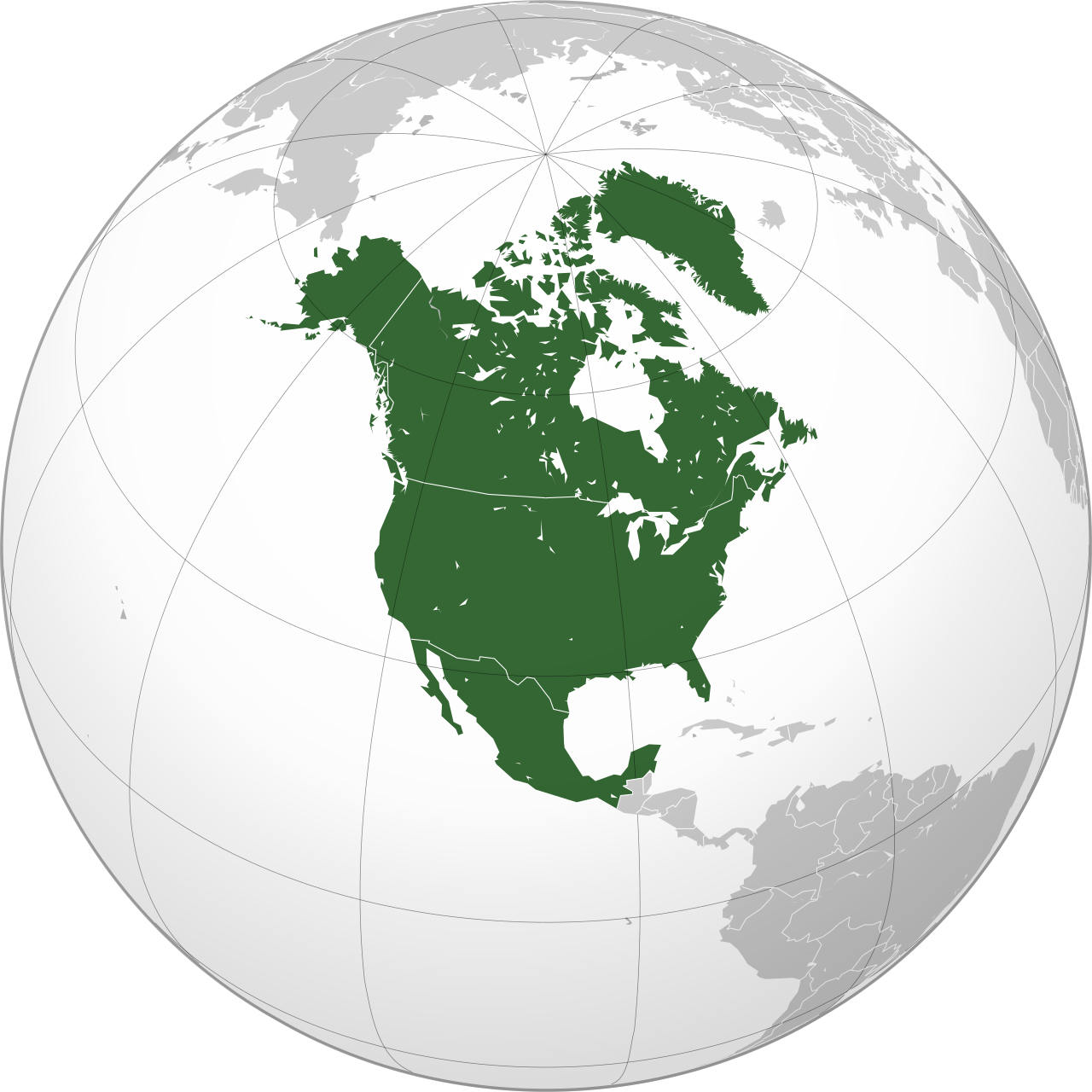
Americas: driving side, road paint, plate shape hints, utility poles, housing style
Africa: soil color, vegetation, signage language, coverage sparsity
Asia: script families, tropical agriculture, guardrails, driving side
Oceania: vegetation, driving side, sparse traffic, distinctive road edges
Each region deserves its own focused practice block.
# Lookalike pairs worth drilling
Spend extra time on countries that look similar:
- Chile vs Argentina
- Colombia vs Ecuador
- Thailand vs Cambodia
- Portugal vs Brazil
- Romania vs Hungary
- South Africa vs Australia rural scenes
These pairs are where meta study pays off fastest.
# Turn meta into muscle memory
Reading about meta is step one. Step two is repetition with review:
- Play a focused region set.
- Guess before using the map too long.
- Review the answer and name the clue category you missed.
- Repeat until the pattern feels automatic.
KnowYourGeo’s AI coaching can label missed clues after each round, which speeds up this review loop.
# Build your own meta notebook
Strong players keep notes such as:
- “Yellow-black chevrons + Cyrillic + birch = likely Russia/non-Baltic East Europe”
- “White poles with black base caps = strong Nordic signal”
- “Red soil + sparse trees + Portuguese signage = Brazil interior”
Your notebook should be personal and based on rounds you actually missed.
# Next steps
Combine this meta guide with:
Meta improves fastest when you train with intention, not when you chase one perfect score.